GIS Software will not be available at the Libraries during the Fall 2020 Semester. Contact Adonna Fleming for additional help with GIS.
A Geographic Information System (GIS) uses digital hardware and software to collect, manage, analyze, and display information about specific locations.
- Gives us a way to understand our world in a visual geospatial format.
- Can be used to analyze social data such as crime patterns and population demographics.
- Helpful in analyzing physical features such as watershed and soil characteristics for biological studies, agricultural interests, and environmental issues.
- Can be used for city and regional planning and for emergency response development.
Tutorials & Training
GIS Tutorial Workbook
- Version 10.2 – includes 6 month license of ArcGIS software.
- PC version only.
- Requires .NET Framework 3.5 SP1 AND Microsoft Internet Explorer, Version 8.
- A limited number are free to UNL Students with current ID.
Virtual Tutorials & Training Through ESRI
Free Courses
- ESRI offers free GIS courses (JavaScript enabled).
Recommended for Beginning Users
Fee-Based Courses
UNL students, faculty and staff are eligible to take selected ESRI Virtual Campus fee-based courses for FREE.
Registering For Training Courses
STEP 1: Register For Courses Through ESRI Course Catalog
STEP 2: After selecting your courses:
- send email to unlsoftware@unl.edu
- list the title of the course you want to enroll in.
- You will receive a course access code in your email.
- Call Esri Telebusiness at 800-447-9778 with your course access code.
Related GIS sites & Data
Other Universities' GIS Sites
State & Regional GIS sites
National & World GIS Sites
Government GIS-Related Sites
- NationalAtlas.gov
- The National Map
- U.S. Geological Survey (USGS)
- United States Census Bureau
- National Geospatial Intelligence Agency (NGIA)
- U.S. Environmental Protection Agency (EPA)
- Envirofacts Data Warehouse
- U.S. Department of Agriculture (USDA)
- Natural Resources Conservation Service (NRCS)
- National Oceanic and Atmospheric Administration (NOAA)
- National Aeronautics and Space Administration (NASA)
- Visible Earth
- U.S. Fish and Wildlife Service
- Mapping and Analysis for Public Safety (MAPS)
General GIS Websites
Computers & Equipment
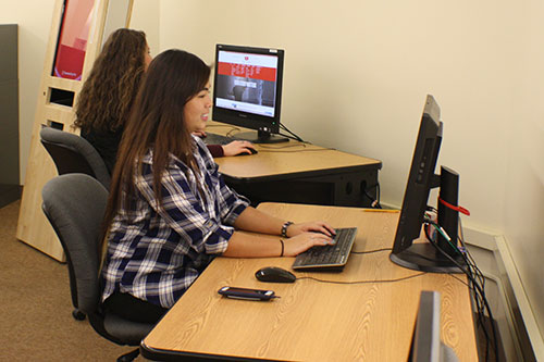
GIS Workstation Computer w/ ScannerSoftware & Applications
- ESRI ArcGIS (full suite – including ArcMap, ArcCatalog, ArcGlobe, and ArcScene)
- Esri Map Data
- Google Earth Pro
- Google Earth Sketch-up
- Adobe Design CS5 (full suite – including Photoshop, and Illustrator)
- Microsoft Office (full suite including Word, Access and Excel)
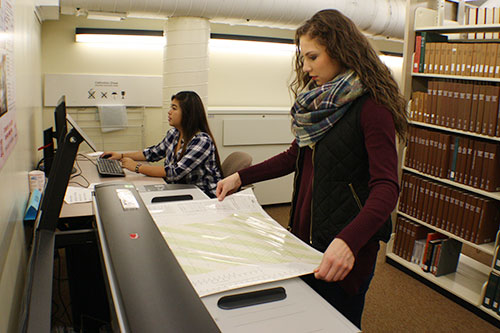
44 Inch Large Format Color Scanner
- 48 bit color
- 16 bit grayscale
- 600-dpi adjustable to1200/9600

GIS for Personal Computers For PC's Only
- ESRI’s ArcGIS for Desktop Advanced and Extensions 1-year Student License
- Free to UNL students
- Install on one personal computer; laptop or home computer (PC’s only no MACS)
- For educational purposes only
- Inquire at the Geology Library
(2) GIS Workstation Computers / AlcoveSoftware & Applications
- ESRI ArcGIS (full suite – including ArcMap, ArcCatalog, ArcGlobe, and ArcScene)
- Esri Map Data
- Google Earth Pro
- Adobe Design CS5 (full suite – including Photoshop, and Illustrator)
- Microsoft Office (full suite including Word, Access and Excel)
- MapSource (U.S. topos for GPS units)