Composite Drought Index (CDI) for the Middle East and North Africa (MENA) Region
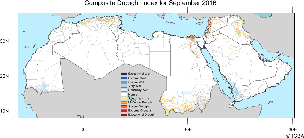
A research project supported by the U.S. Agency for International Development to developed a satellite-based Composite Drought Indicator (CDI) over the MENA region for the drought monitoring and early warning component. Research includes the selection and data integration methodology to combine remotely sensed observations of vegetation health, precipitation, evapotranspiration and soil moisture into a single drought indicator that is consistent across the MENA region. The project is a joint effort among CALMIT, NDMC, Water for Food, the International Center for Biosaline Agriculture (ICBA) in Dubai, UAE and US AID.
Research is also ongoing in four MENA countries to customize national to sub-national CDI approaches that include Jordan, Lebanon, Morocco and Tunisia. This work is ongoing with project team members collaborating with scientists from various governmental ministries (e.g., agriculture and meteorology) and universities from these countries.
Center Faculty: Wardlow and Neale
Collaborators:
- National Drought Mitigation Center (NDMC)
- Water for Food Daugherty Global Institute
- International Center for Biosaline Agriculture (ICBA)
- USGS Earth Resources and Observation Science (EROS) Center
- USDA Agricultural Research Service (ARS)
- National Aeronautics and Space Administration (NASA)
- U.S. Agency for International Development (US AID)